Unfamiliar Futures & Implored Mutations
Adj. Prof. Matt Messner;
Assoc. Prof. Kyle Reynolds
Unfamiliar Futures & Implored Mutations
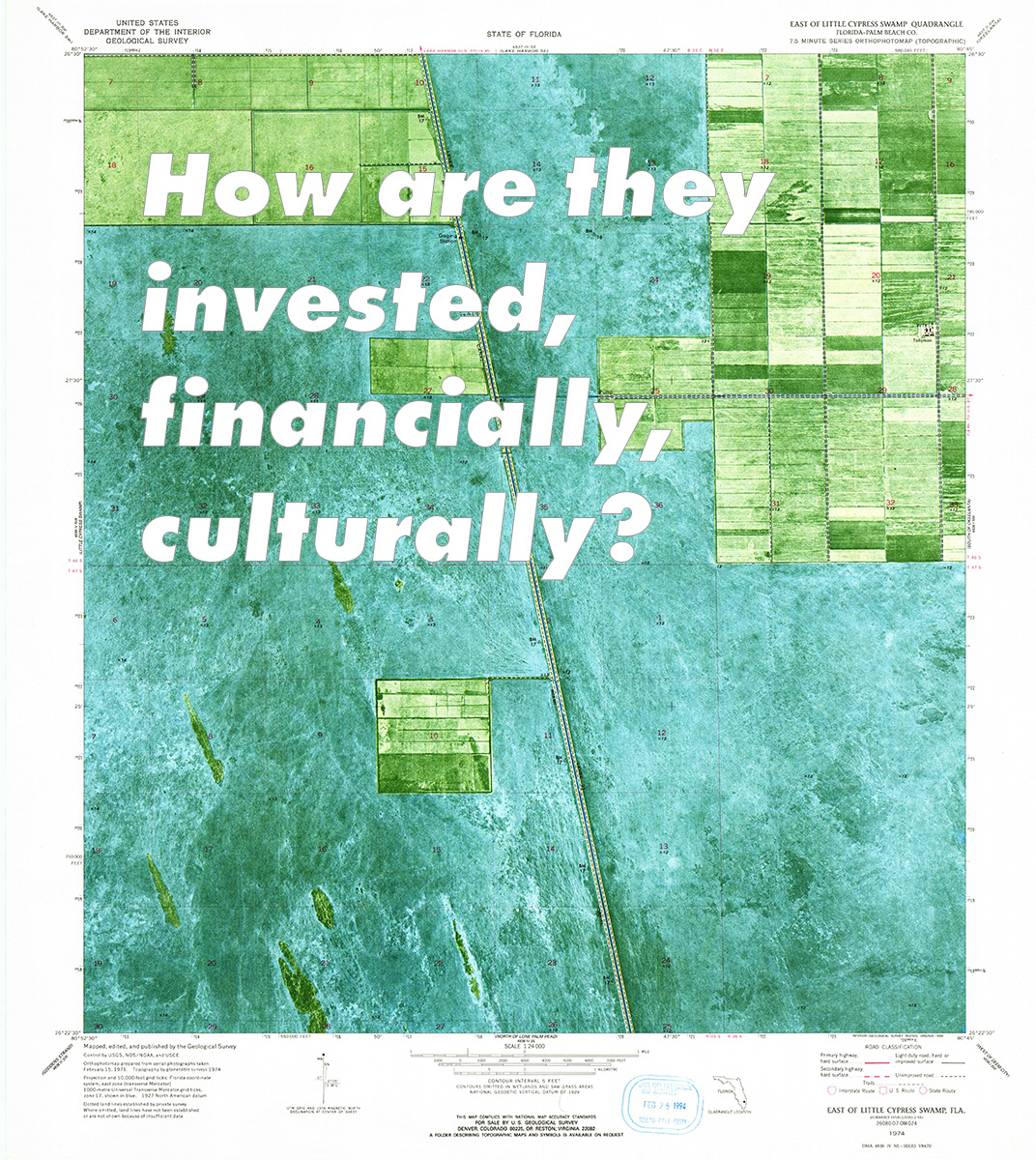
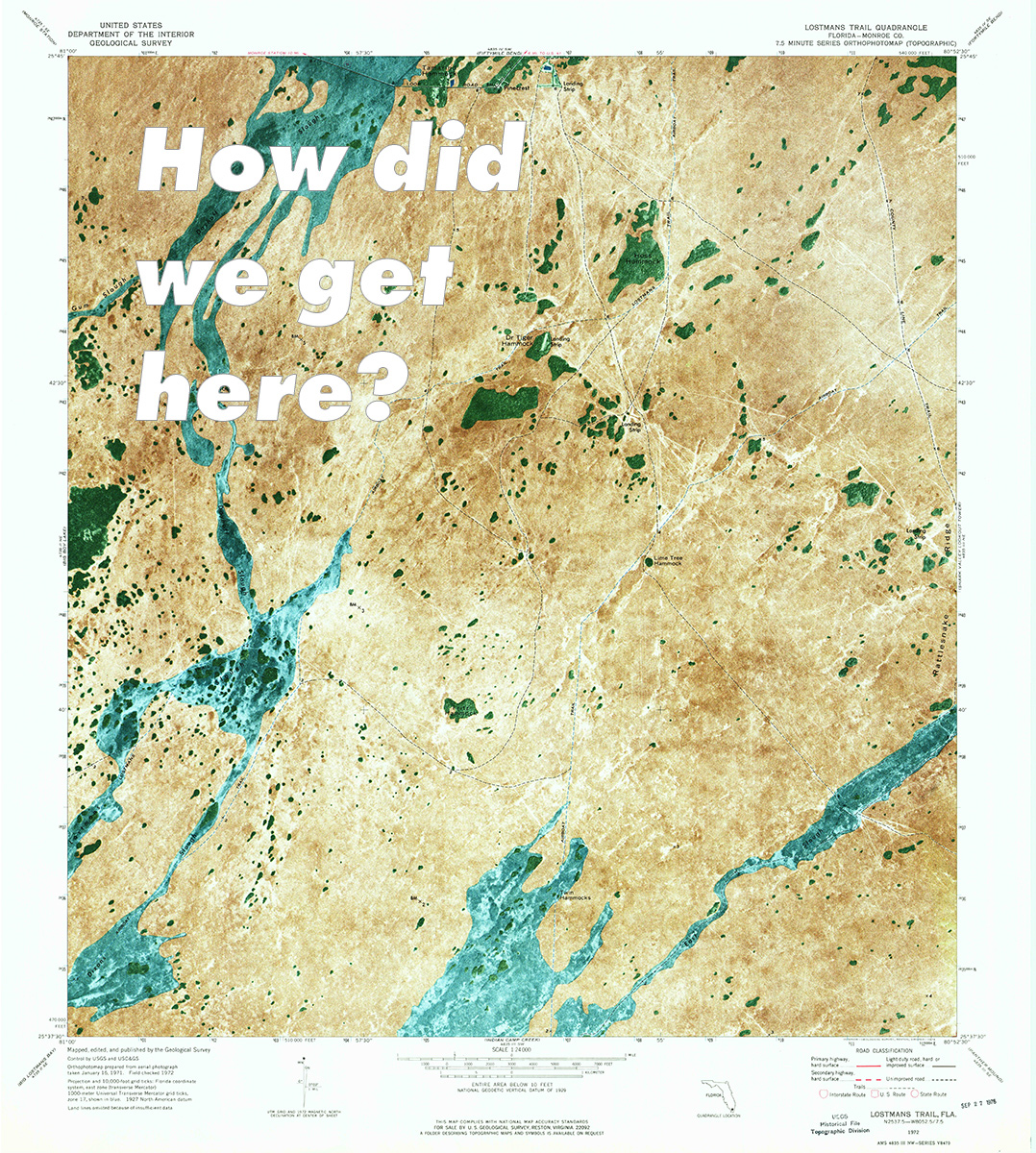
We witness cities perpetually evolving; however, these alterations are masked by the duration in which they are experienced. These seemingly invisible shifts in reality add up, for the slowly rising oceans will inevitably swallow the earth. Miami-Dade, for instance, resides on incredibly porous limestone; as the glaciers melt—or if there happens to be a super moon—the soil becomes saturated with water and spills into the streets. Currently, Miami has an average elevation of 4ft above sea level, though by 2100 the region is expecting to see water levels increase by 4.7ft, putting more than 50% of the city underwater.
Dramatic transformations give us an opportunity to evaluate and question our values and needs; most importantly, to discover alternative realities. What is the viability of a semi-submerged Miami? How do we adapt, and prepare for the future? What strategies will not only keep citizens, businesses, and tourists but attract more to this new landscape? We need to reassess how buildings programmatically respond to these new conditions and how people navigate a submersed city: by foot, public or private transportation. This is the critical point in time where we need to accept the conditions, theorize, and design our terms for the future.

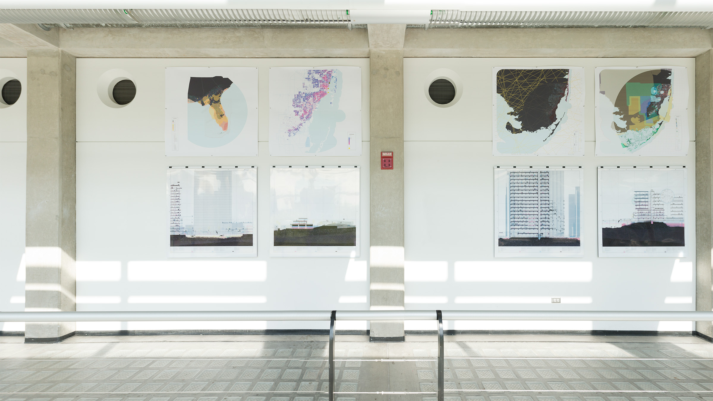
Excerpts of a dialogue with Joseph Mougel, my BFA thesis advisor; sparks to start a larger conversation.
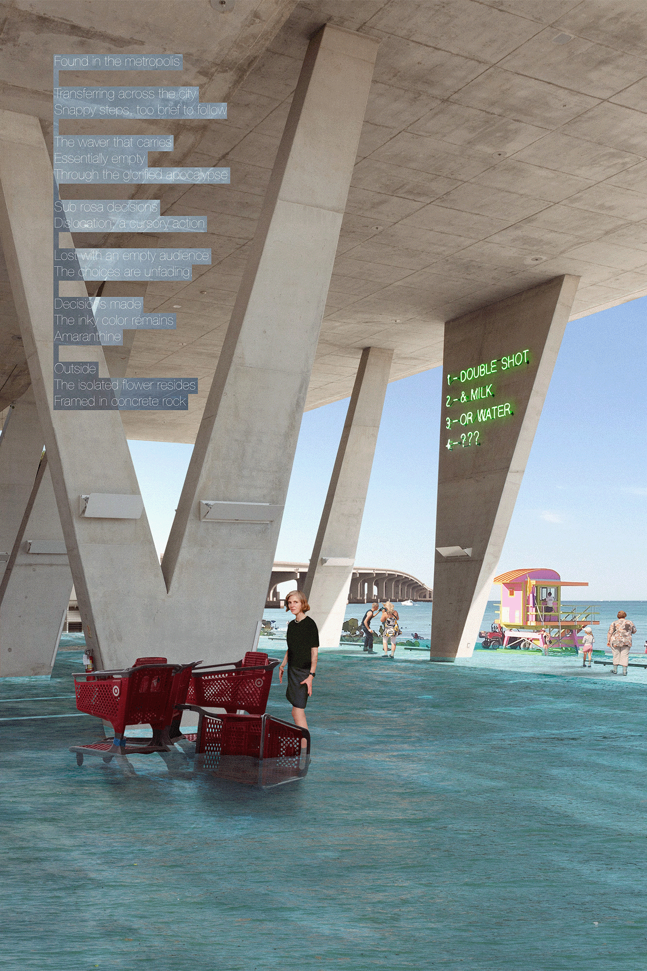
Quick fictitious forms and landscapes at various ocean levels and moods: damp, doused, drenched, immersed, moist, plunged, saturated, slippery, soaked, sprinkled, submerged, swamped, watery, wet.
While Holland, New Orleans, and Venice can keep water out with infrastructure and clever engineering, the bulk of Florida will not be able to rely on such techniques. Much of the peninsula resides on porous limestone, so even with a physical wall, the water would still seep through the ground.
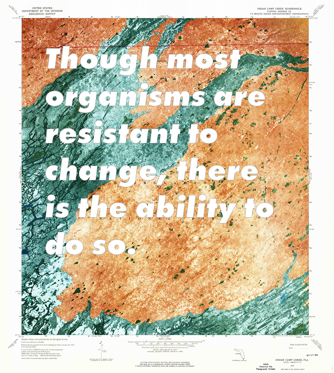
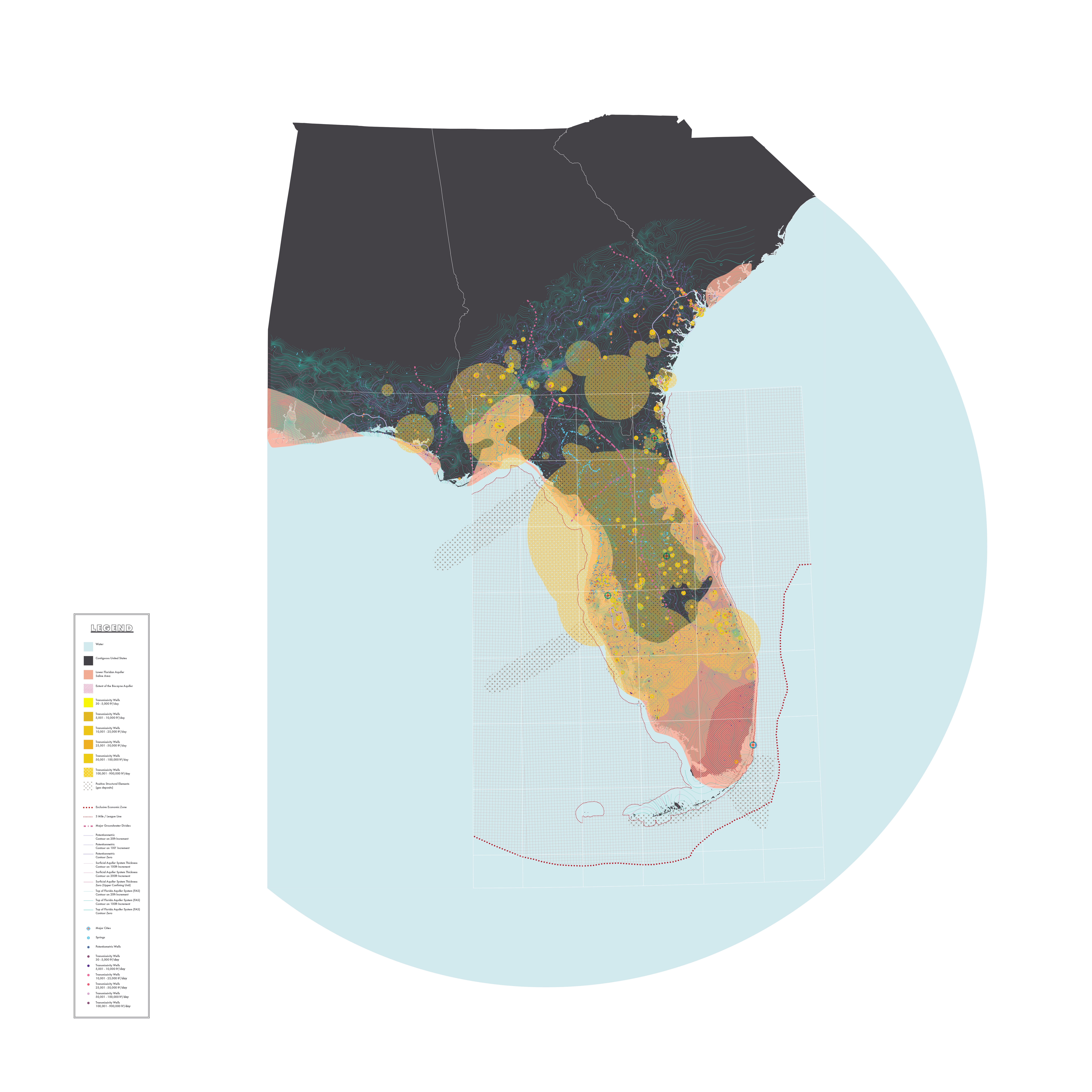
The map depicts the top layers of the aquifer system, great water divides, and wells and their transmissivity. The larger the field of the well, the more significant the transmissivity. Understanding the transmissivity is crucial as it tells us how much freshwater is coming and from where, and the permeability of the aquifer at the depth tapped.
The Everglades water table usually is above the ocean’s high tide. In the 1950s, the difference was 18” above, but the difference has now been reduced to only 8”. The positive pressure is necessary to keep the salt water out, but if trends continue, the Everglades will be one with the ocean.
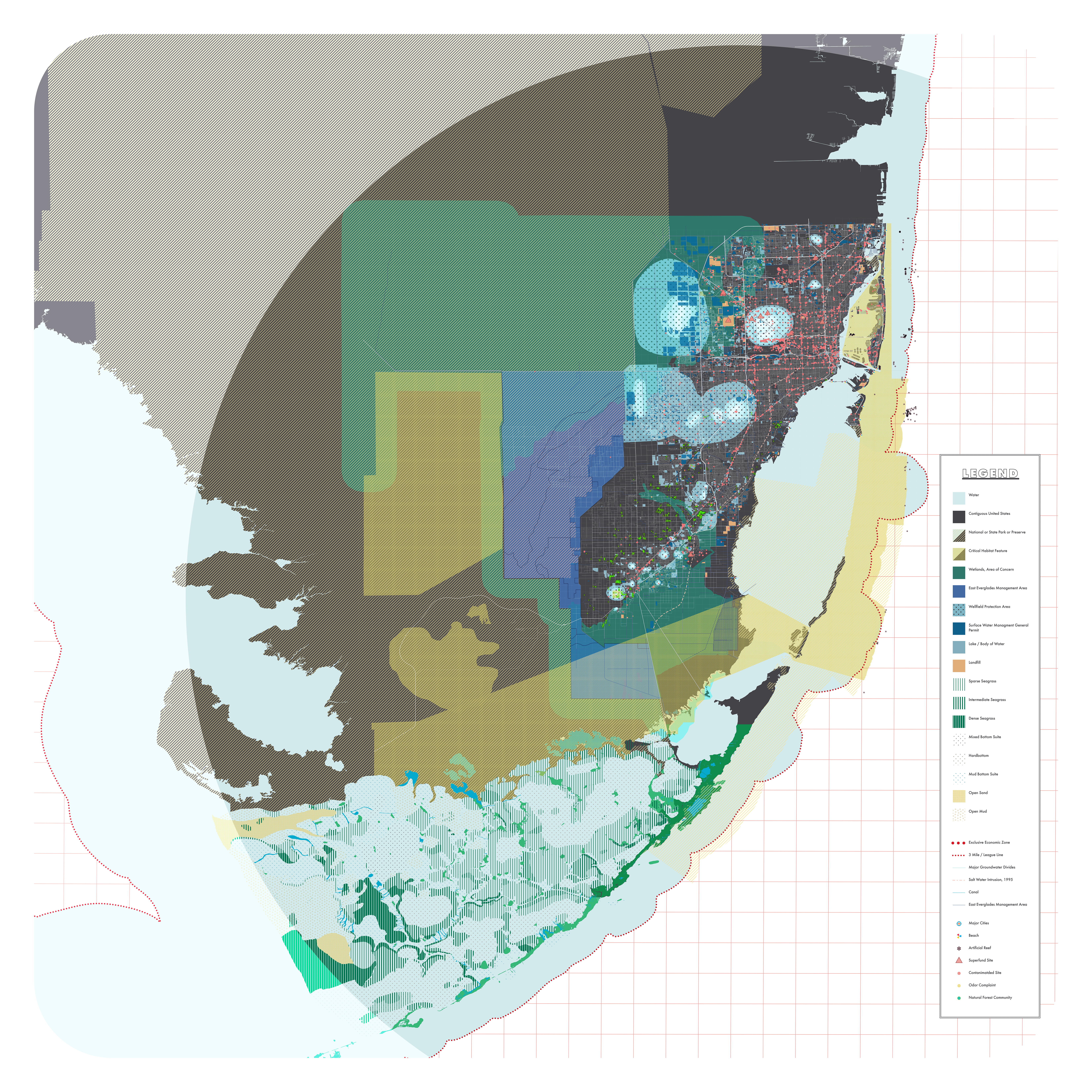
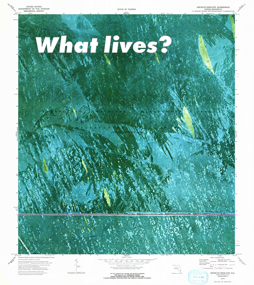
Rising sea levels will bring not only higher water, but a series of other ecological implications. There are significant wellfield regions in the area that are used to pump freshwater up from the aquifers below. Many of these are at risk of contamination. The wellfield itself will, in all likelihood, no longer be usable due to saltwater intrusion; however, there will be further damage to the water that floods the area. There is a slew of contamination sites in the Miami-Dade area and even more damaging, unfinished Super Fund sites. As the water table rises and the ground becomes fully saturated, the pollution buried below will release, forming a toxic slurry. This will be detrimental to the area's inhabitants and the already weakened ecosystem. If nothing is done to purge, contain, or mitigate the toxins, they will wreak havoc on the city.
Once the wells are shut down due to contamination—saline or chemical—the region will be forced to look north to import fresh water. Drastic measures can be taken to slow the infiltration by creating a positive freshwater pressure to repel the saline, which is wasteful and inevitably useless.
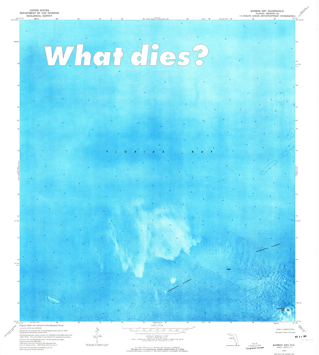
The local region's ecosystem will be heavily altered with the transition to saline soil. The palm trees will die, as they are susceptible to salt, and many of your common vegetables will no longer be able to grow.
Much of the farmland in the region will be affected, as it will be too salty to grow traditional crops. Forcing farmers to try new plants and the population to explore new farming techniques.
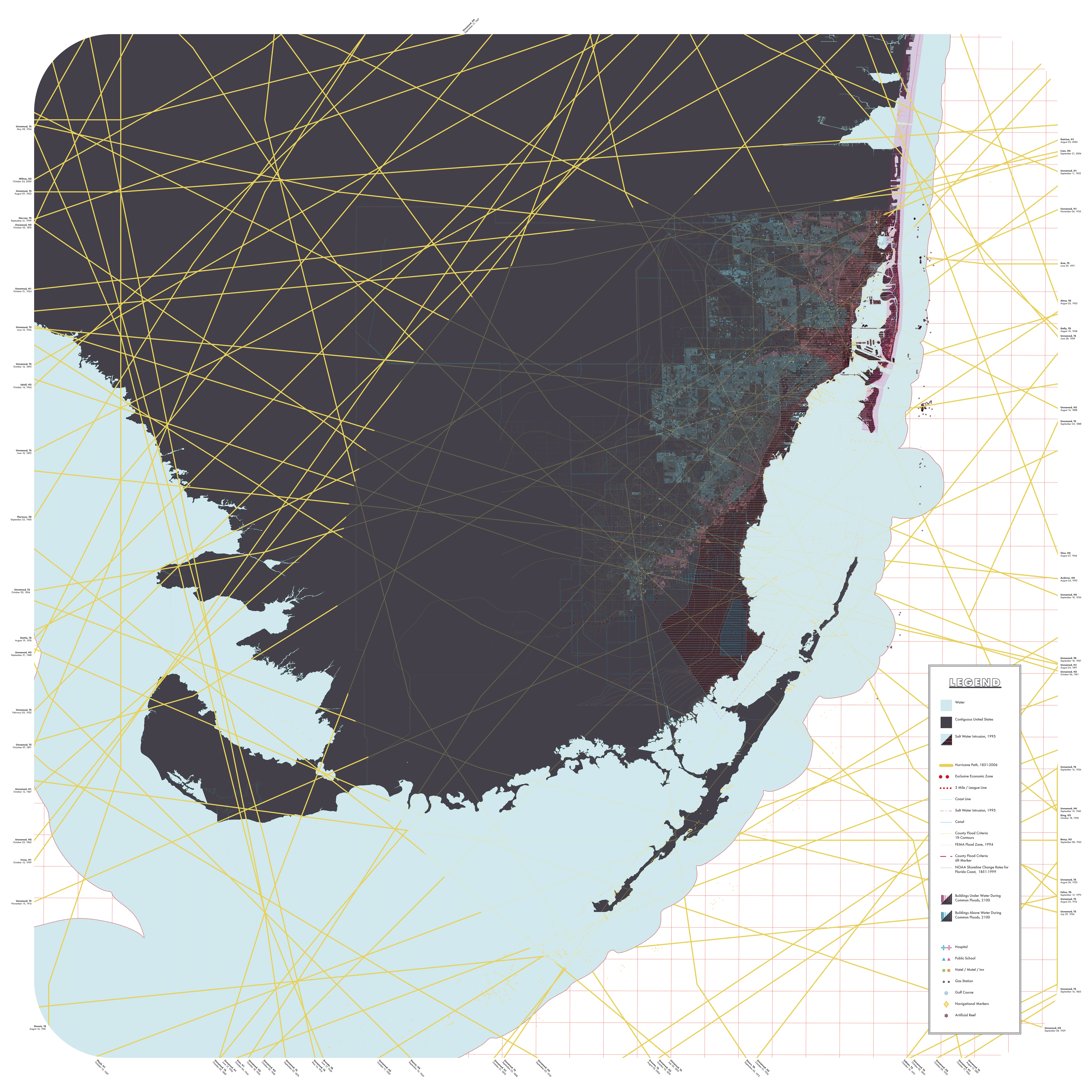
While a higher water table means that much of inland Miami will be exposed to water, that doesn’t necessarily save the higher coastal region. Due to the increased extreme weather and the geographic location, Miami will see a significant rise in floods. By the end of the century, Miami will see the odds of a 6-foot flood increase to a 100% chance a year. (IPCC Report, 2013)
This map examines what such a flood looks like based on Miami-Dade’s current (c. 2018) provided county flood lines. FEMA’s, while more precise, are incomplete, not covering the whole county—this is very common of their maps. This map does not show the inland areas that would be already underwater due to the porosity of the earth. Every building in Miami-Dade, as of 2017, is represented as a line. The taller and thicker the line, the larger the building. The building heights are clustered into domains consisting of: small, ‹ 25’, 26’-50’, 51’-100’, 101’-250’, 251’-500’, and 501’-1000’. Hospitals are represented as a cross; schools, a triangle; hotels, an orange or green circle; gas stations, a near black dot; reef balls as an *; and nautical navigation markers as diamonds. The pink hues represent buildings prone to floods; the blue hues represent regions unaffected by floods.
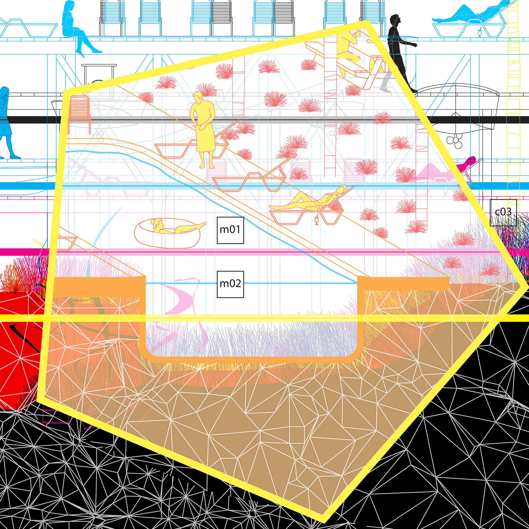
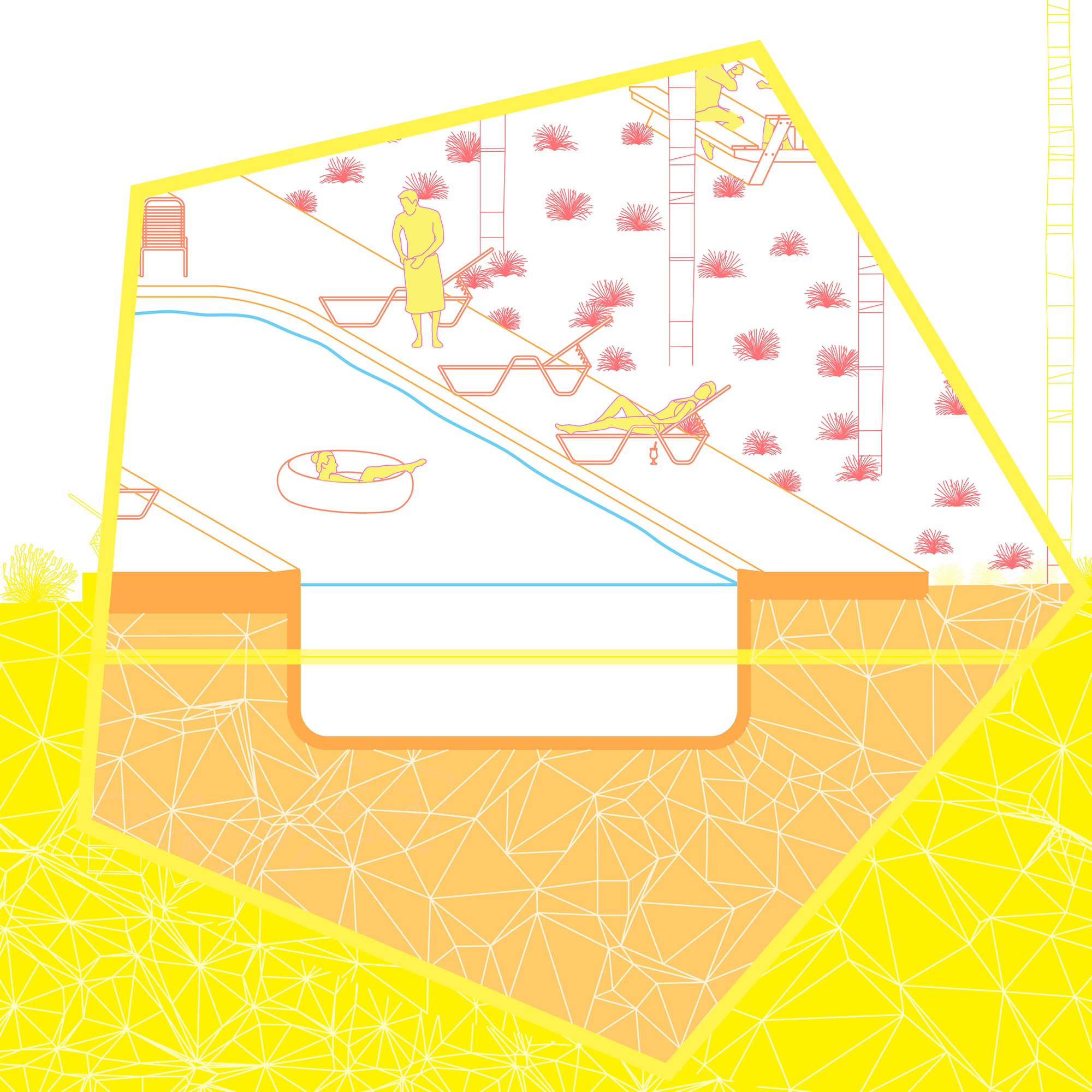

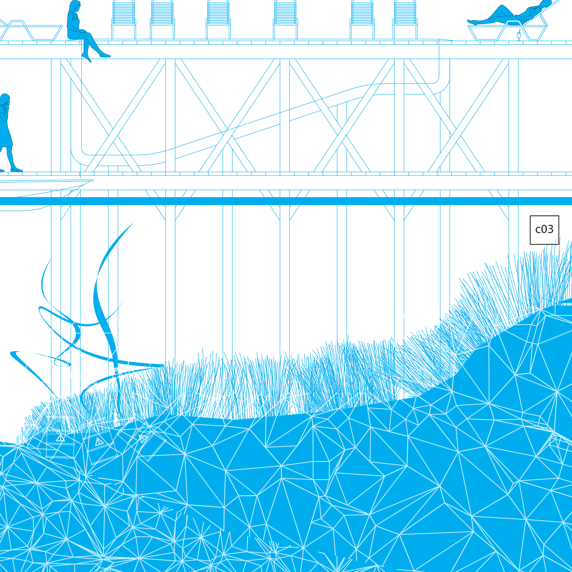
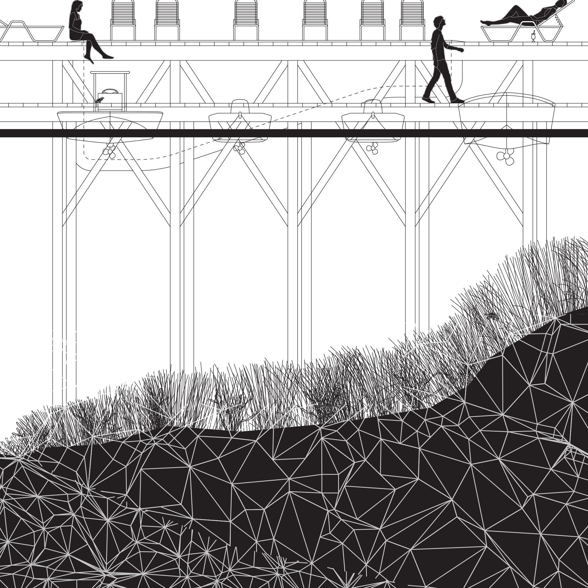
Rising sea levels are a somewhat invisible process; that is, until it affects the audience. You can watch the tide day-after-day, year-after-year, and really have no idea as to whether it’s rising or not. However, when your street starts to overflow regularly, you may begin to ask questions.What is wet and what is dry can be a flawed approach; an inch of water on the street is very different from 10ft of water. In an attempt to understand what rising sea levels entail and how this will affect daily life, I migrated away from the plan to instead draw the world of tomorrow in section. The future sea-level could range anywhere from 1ft (0.3m) to a high of 8.2ft (2.5m) by the end of the century–this doesn’t include the additional rise from floods, which will be more frequent and more severe. Looking to cover the wide range of potential water levels, the section is comprised of four layers starting with the present, then increasing the water level in three 5ft increments. The layers are colored: yellow (2017), magenta (5ft), cyan (10ft), and koal (15ft). As the layers overlap, the colors may change to depict the new and existing world.
Within the sections, there are Isolated Section Obliques, moments that project depth into the two-dimensional world to add narrative, context, or clarity. These moments follow the color theme but expand the color gamut to adjacent hues for higher definition into the unfolding scene.
What happens of the single-family home? These can be adapted to work with newfound water levels, but they may not be the most cost-effective. If you have the money, which many in Miami assert they do, you can take such measures as putting your house on an inflatable foundation. This rises and falls with the tide and future sea level rise. Damn the price; it can be built to survive heavy storm conditions. However, more cost-effective measures, like seawalls and sumps, will only work for so long before they collapse or are deemed unusable.
There are methods to generate useful soil and land to build and grow food on. Such as the Tule Tech System. By flooding stacks of hay that are enclosed in a film tent, the saline water condenses, and the freshwater then drips down and enables non-brackish plants to grow. Eventually, the hay decomposes, and you are left with a more nutrient-rich soil. While this does require hay to be brought in from nearby areas, that is a very easy material to transfer. The end product soil will never be saline-free, but it does provide new ground conditions for halophytes and land to build—if you must—small houses.
Section cut through a block in Belle Meade, Miami


Towers are, however, designed to withstand such forces. Existing office buildings will start to transform, adding housing and program lost to the waves. The concept of a city within a building will finally take grasp. Entryways will shift upward, and connections to new forms of transportation will occur. In this case, the curtain wall of the lobby and 2nd-floor mezzanine has been removed to allow for boats to dock. Grocery stores added, a place to buy stylish new rain boots—and of course, a water park to supplement traditional interaction with the water.
Section cut through a block in Downtown Miami
What happens of the single-family home? These can be adapted to work with newfound water levels, but they may not be the most cost-effective. If you have the money, which many in Miami assert they do, you can take such measures as putting your house on an inflatable foundation. This rises and falls with the tide and future sea level rise. Damn the price; it can be built to survive heavy storm conditions. However, more cost-effective measures, like seawalls and sumps, will only work for so long before they collapse or are deemed unusable.
There are methods to generate useful soil and land to build and grow food on. Such as the Tule Tech System. By flooding stacks of hay that are enclosed in a film tent, the saline water condenses, and the freshwater then drips down and enables non-brackish plants to grow. Eventually, the hay decomposes, and you are left with a more nutrient-rich soil. While this does require hay to be brought in from nearby areas, that is a very easy material to transfer. The end product soil will never be saline-free, but it does provide new ground conditions for halophytes and land to build—if you must—small houses.
Section cut through a block in Belle Meade, Miami
The water that seeps into the city won’t necessarily be clean–the kind you want to bathe in. There are a ton of contamination sites in the region, and when these become (inundated) saturated with water, we will find that our buried secrets are tomorrow's nightmares—a toxic slurry. With time some of this can be dealt with using halophyte plants that are able to filter out and clean out water. Reeds are quite good at this and are very capable of thriving in these brackish conditions.
Section cut through a block in Belle Meade, Miami-Dade